Click on a thumbnail to see a full-size picture.
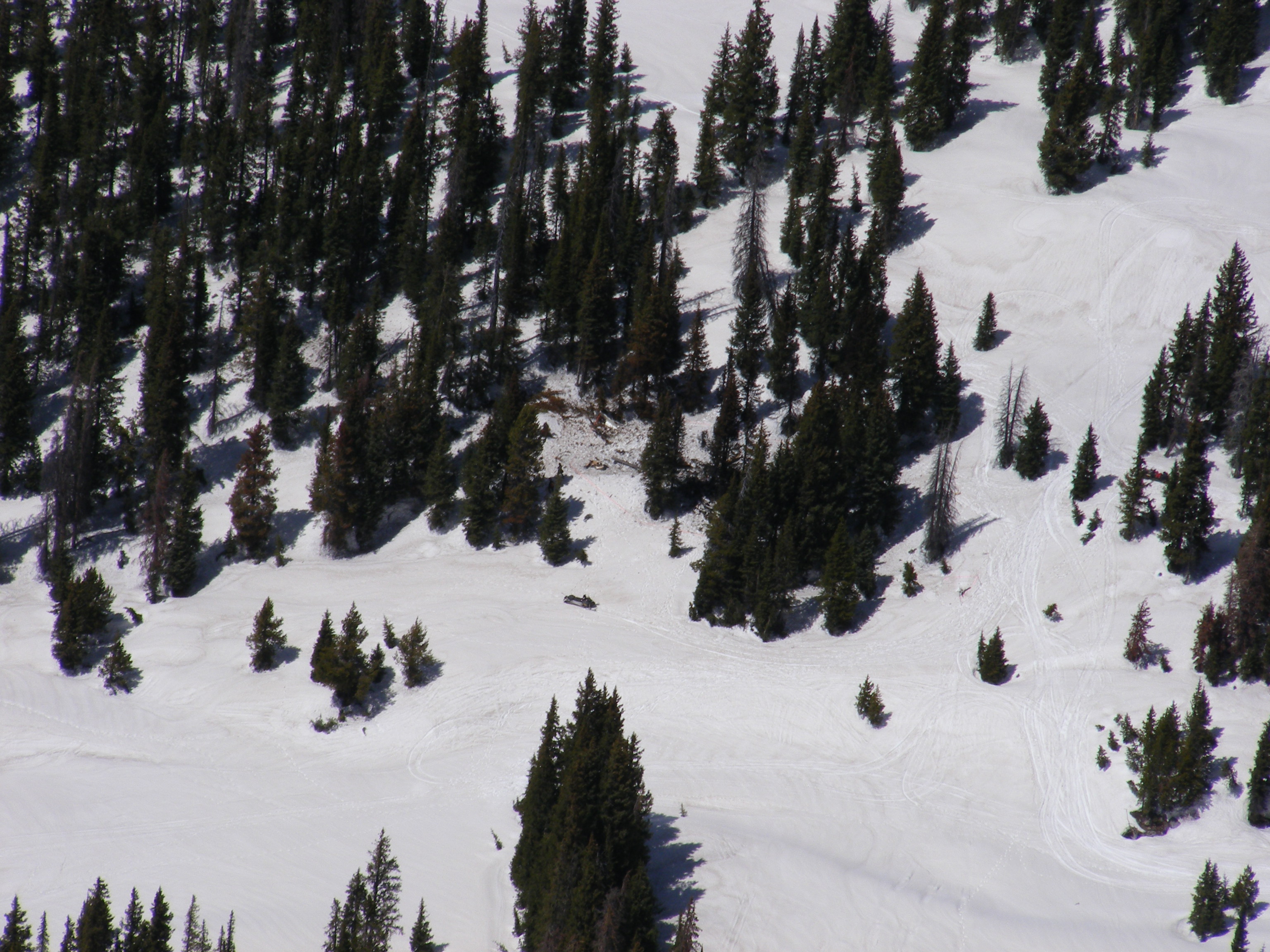
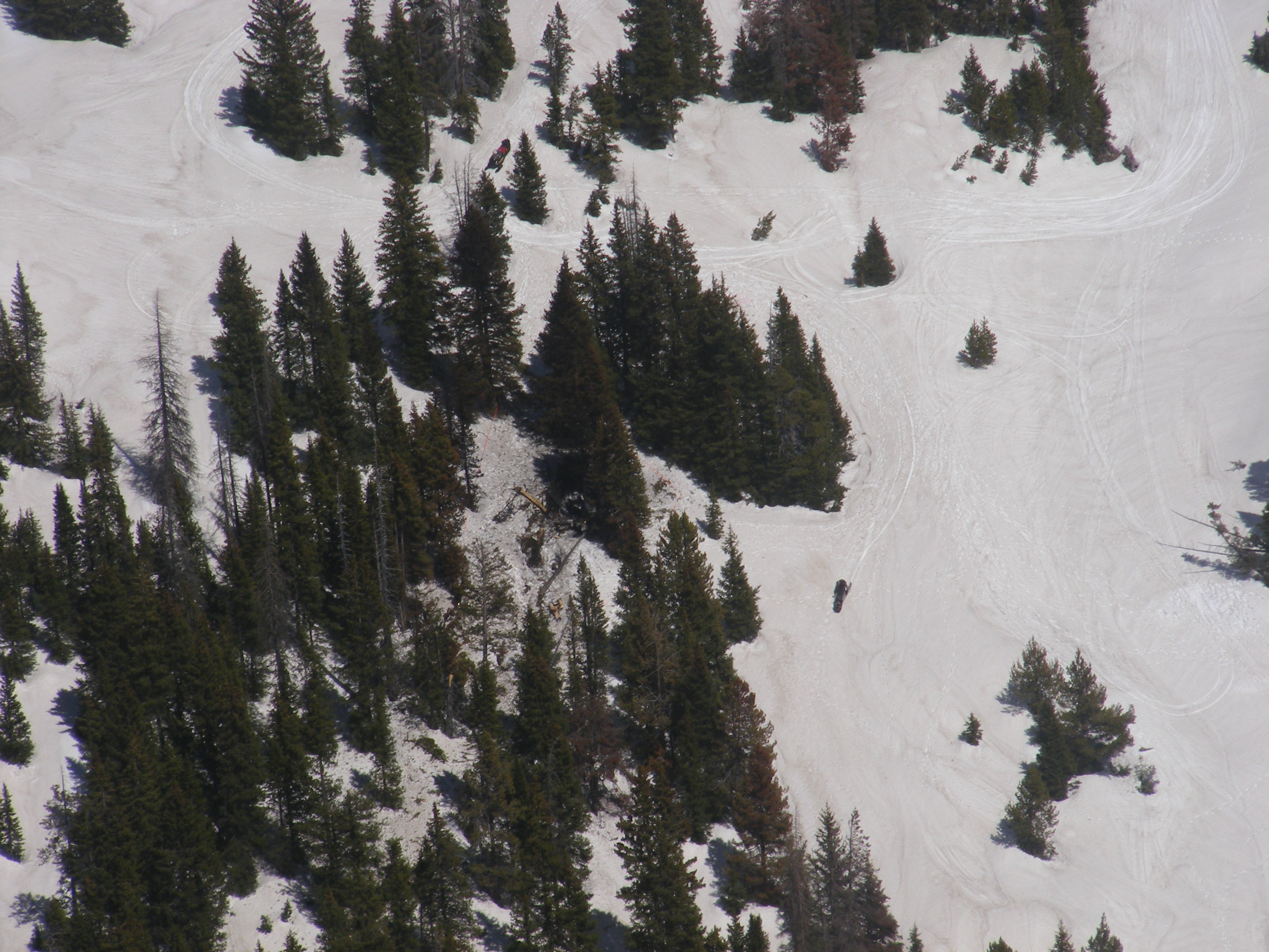
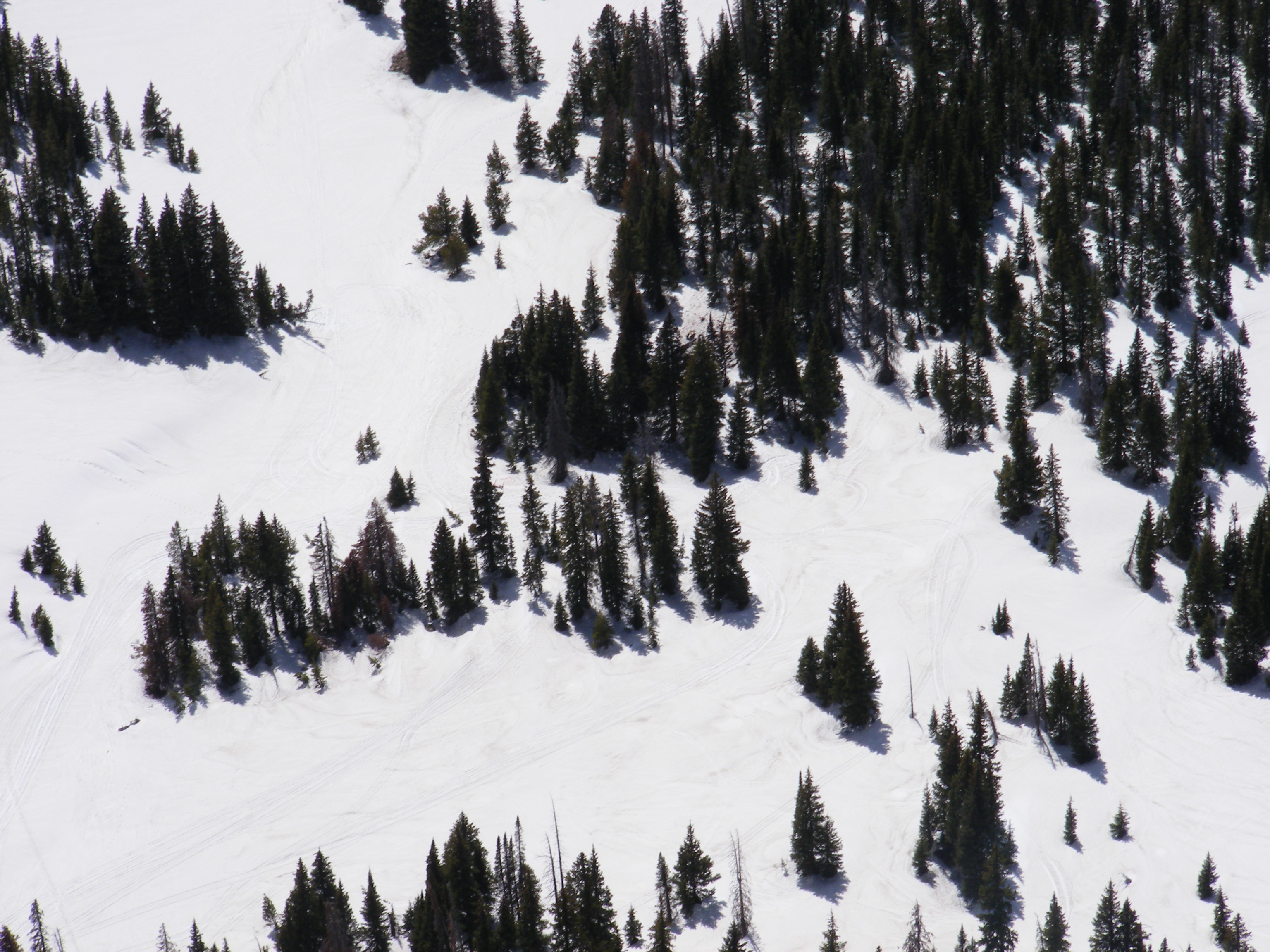
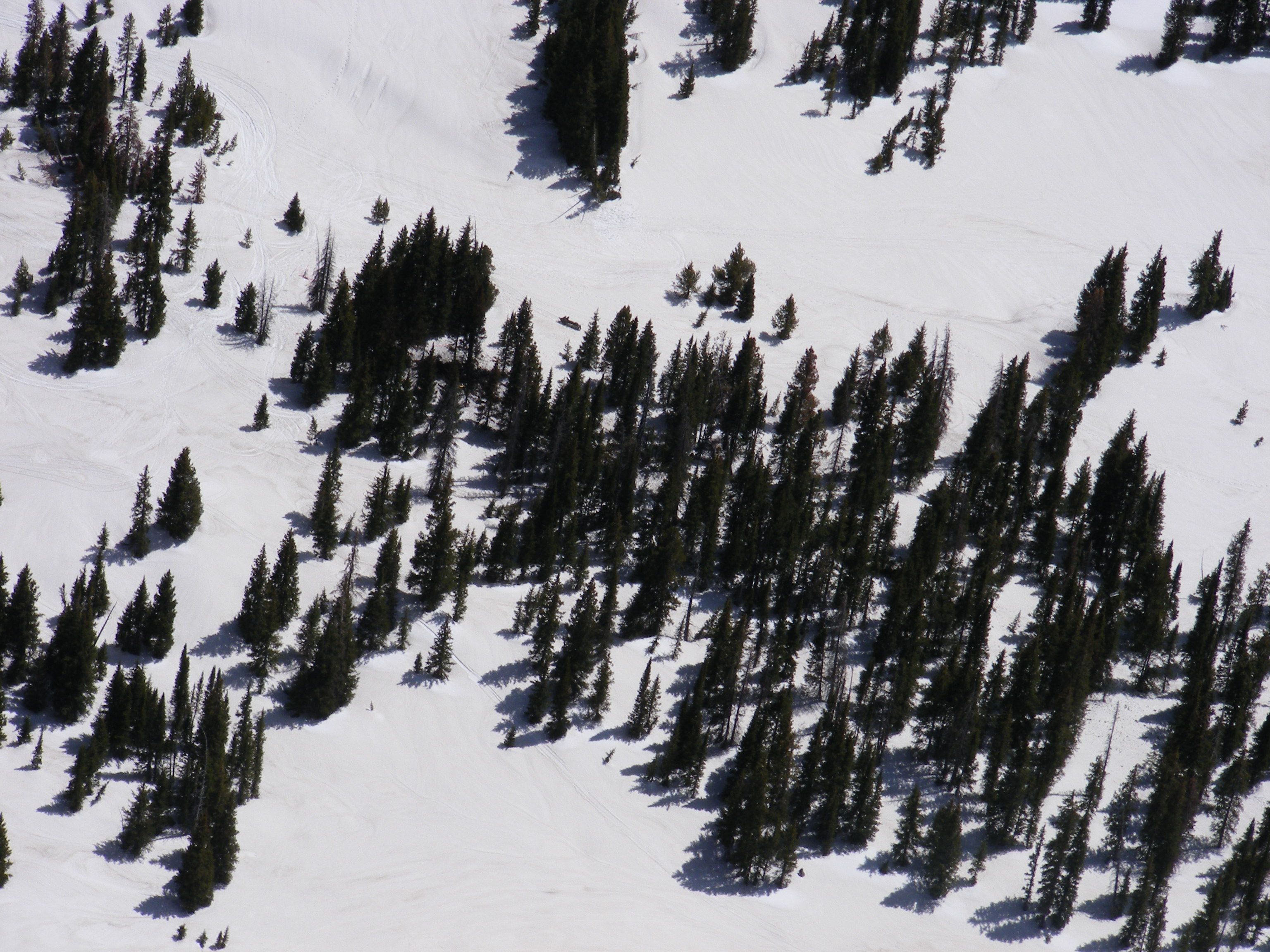
08M0894 missing Cessna 310 from Hayden to Fort Collins Loveland, 25 May 2008. Photos by Sean Blake. More photos here by Jack Dysart
|
|
flying eastbound viewing north. Notice snowmobile below the crash site. |
|
flying southbound viewing east. The red on the snowmobile near the top is noticable |
|
|
flying northbound viewing west. Mostly hidden by the trees. |
|
flying westbound, viewing south. Hidden by trees. |
 |
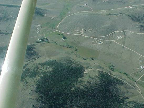
GJT experimental crash -- the mission on the West Slope during our SAREX 16-18 Feb 2001 | 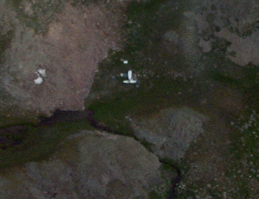 |
Blurry, of the Bellanca Viking that crashed 11/99. Was found 7/00 |
 |
different angle |
 |
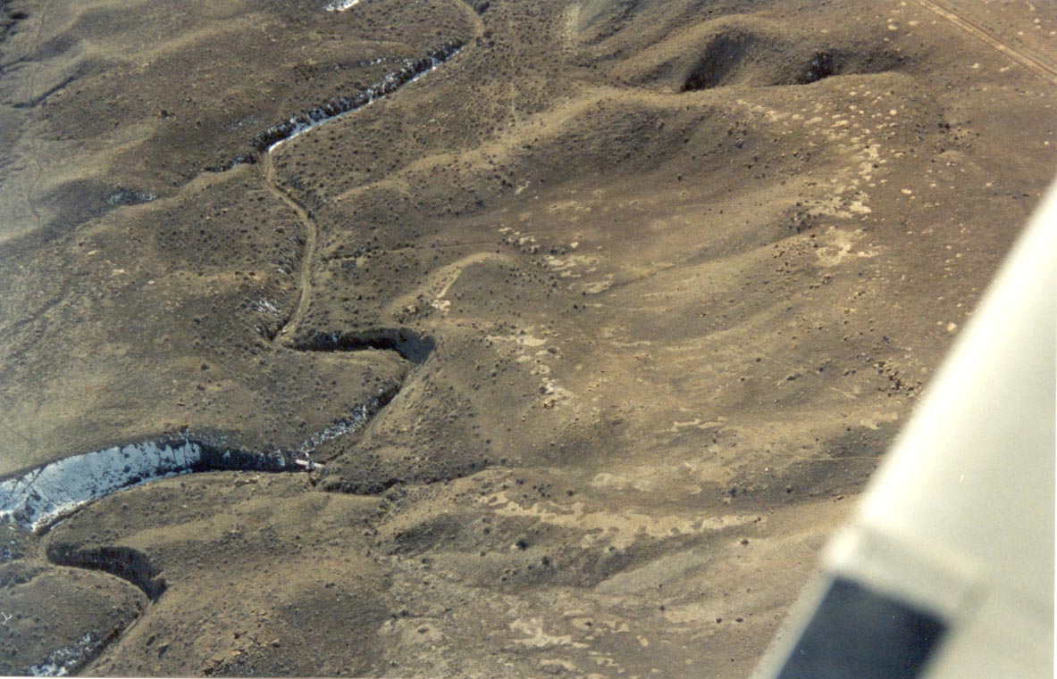
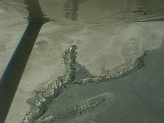
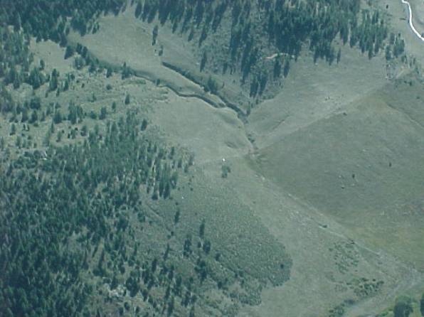
Looking South, notice the left (east) edge of the V-ravine in the middle, 1/2 mile north-east of the junkyard. |
 |
Looking East now, same ravine with the V at the top. On the north-east (top) edge of the ravine there's a junk pile. Just east (above) the end of the gully is… |
 |
Parts of an airplane! Here we're looking South and a little west, at the east end of the V-end of the gully. Circling around a little… |
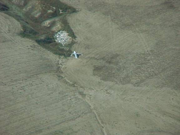 |
Now looking North-West, what used to be N3135J, a white C150 with red and blue trim. Bonus points if you used binoculars to get the tail # :-) |
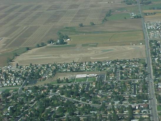 |
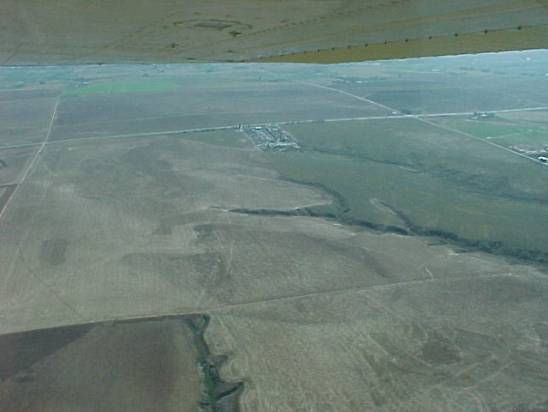
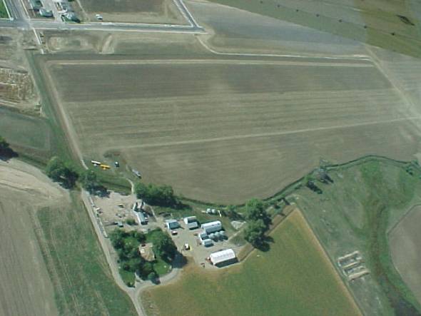
Looking North. The North-South road on the right is Shields, 1 west of US 287. Just outside the picture to the north-west is a brand new subdivision. |
 |
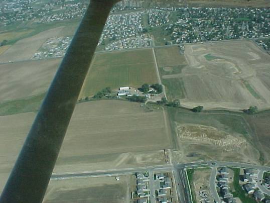
Closer in, looking North-NorthEast. The planes are just west of the trees along the stream. |
 |
Over the brand new subdivision looking East. From the ranch in the middle, just south-west (down and right) from the buildings is an orange dot. That should be there both days, it's a Cub. Possibly next to it is a white SuperCub. |
 |
Looking West north-west again, beacon is under the wing of the yellow Cub. |
 |
Looking North-West. Notice the ravine just right of the middle of the strut. |
|
Now looking South-West, close in on the ravine, see the silver (actually orange) dot right on the fence line halfway between the ravine and the left (east) trees? |
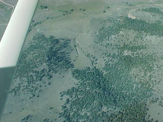 |
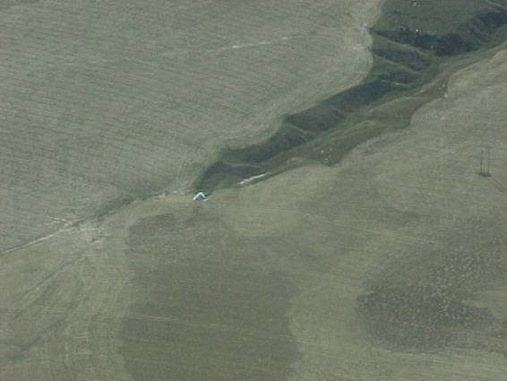
Looking North-East now, same ravine in the middle. Where the ravine trails off on the upper (north) side, there's an East-West fence line… |
 |
Looking North-East again, close-up of the ravine and orange tarp. You see why we put out three tarps at each location at the Feb 2001 SAREX. |