

Thanks to Rick Schein / Black Sheep's Incident Action Pre-Plan Wing Web Page, we had four squadrons participating! Thompson Valley hosted and invited nearby Boulder and Greeley. Dakota Ridge, a relatively new squadron, saw our IAPP and asked to attend. We had extra aircrew spots and two of them attended and got Mission Scanner Trainee training!
After Action Report is on that same web page. Thanks to Andrew McKenna for a great target with actual wreckage and for taking photos of our north target. Also to Joel Larner and his crew who spotted an actual fire up by Pingree Park - this fire would have grown much much larger without their quick reporting, and thanks to Mark Sheets who has an inside link to Fire Dispatch for immediate action.
Joel Larner supplied most of the photos and the videos.
Click on a thumbnail to see a full-size picture. Note full-size is 1M for most of these.
|
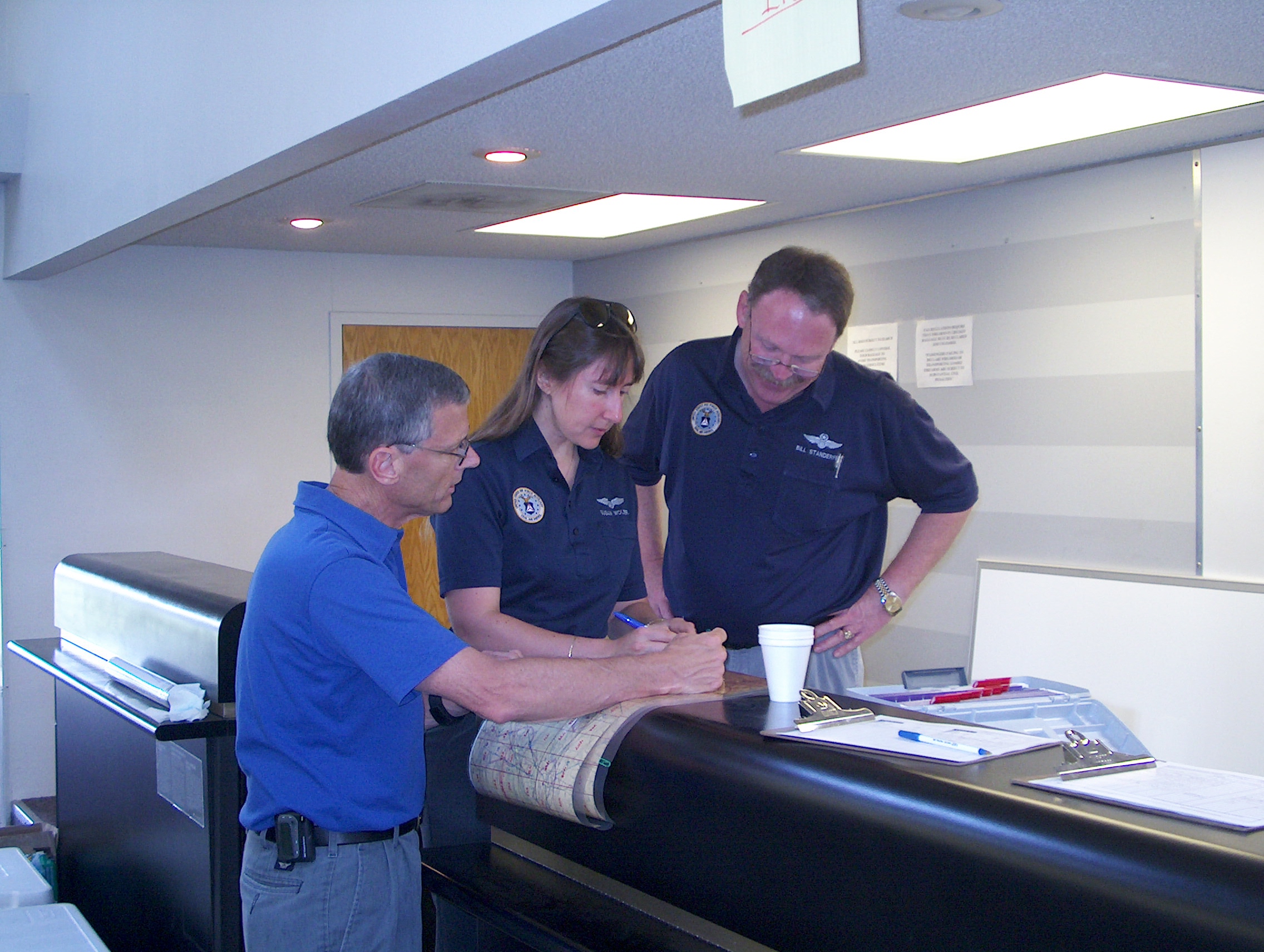
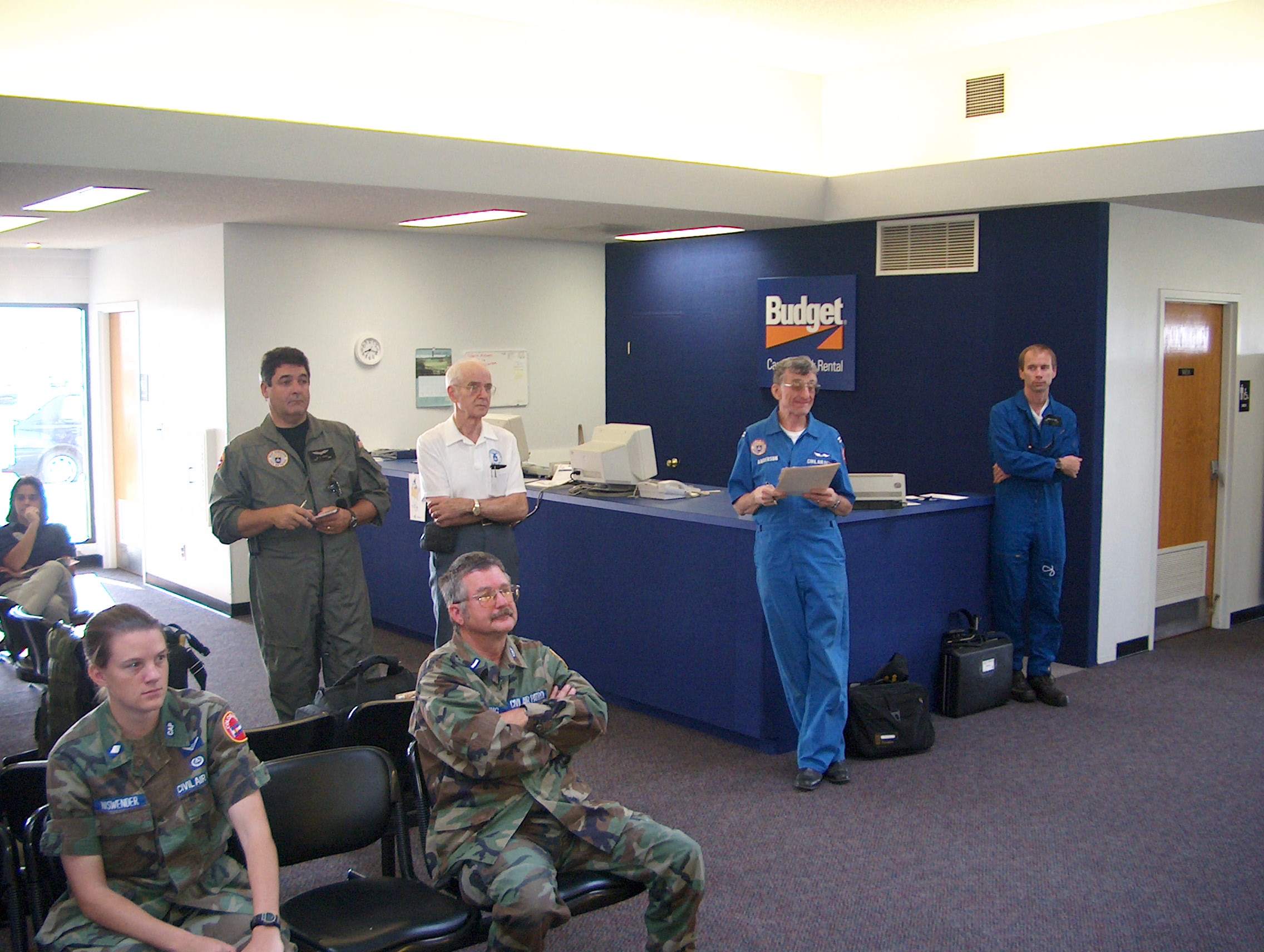
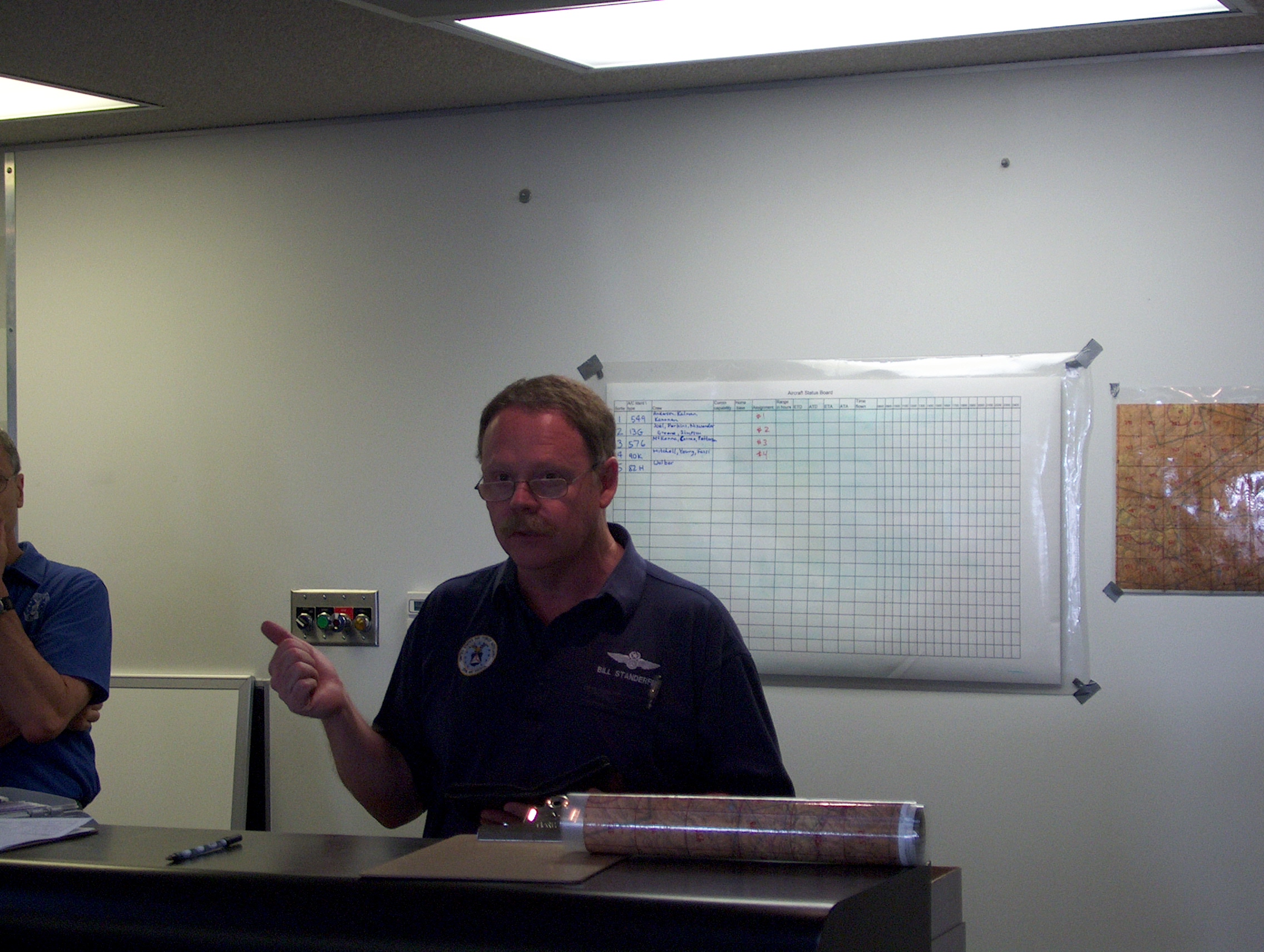
KenM, Sue and BillS prepare for the general briefing. | |
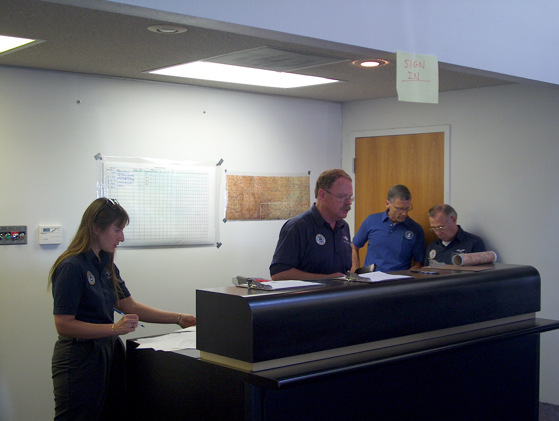
Mission Base Staff Sue, Bill, Ken and Jerry discuss aircrew assignments. | |
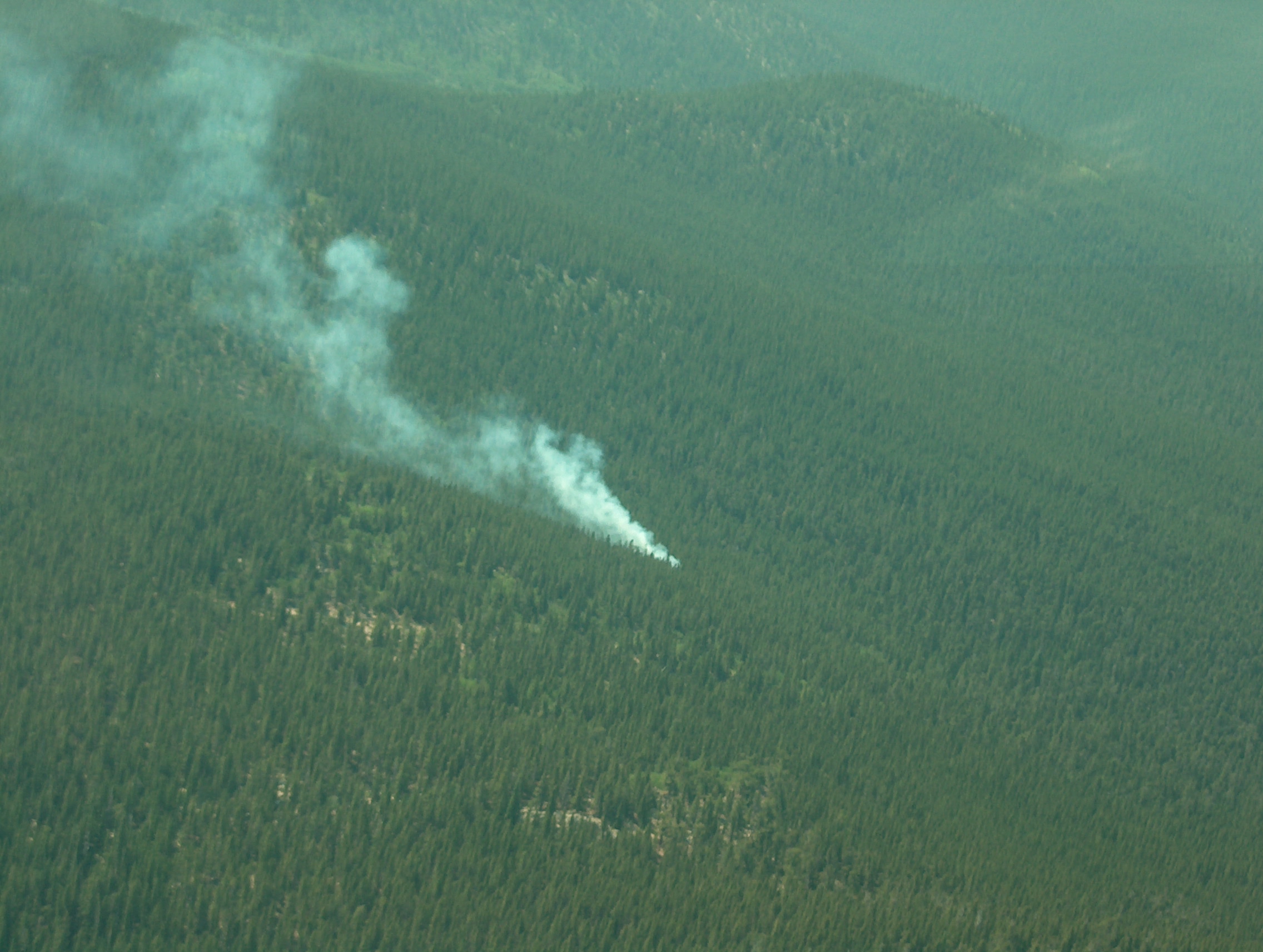
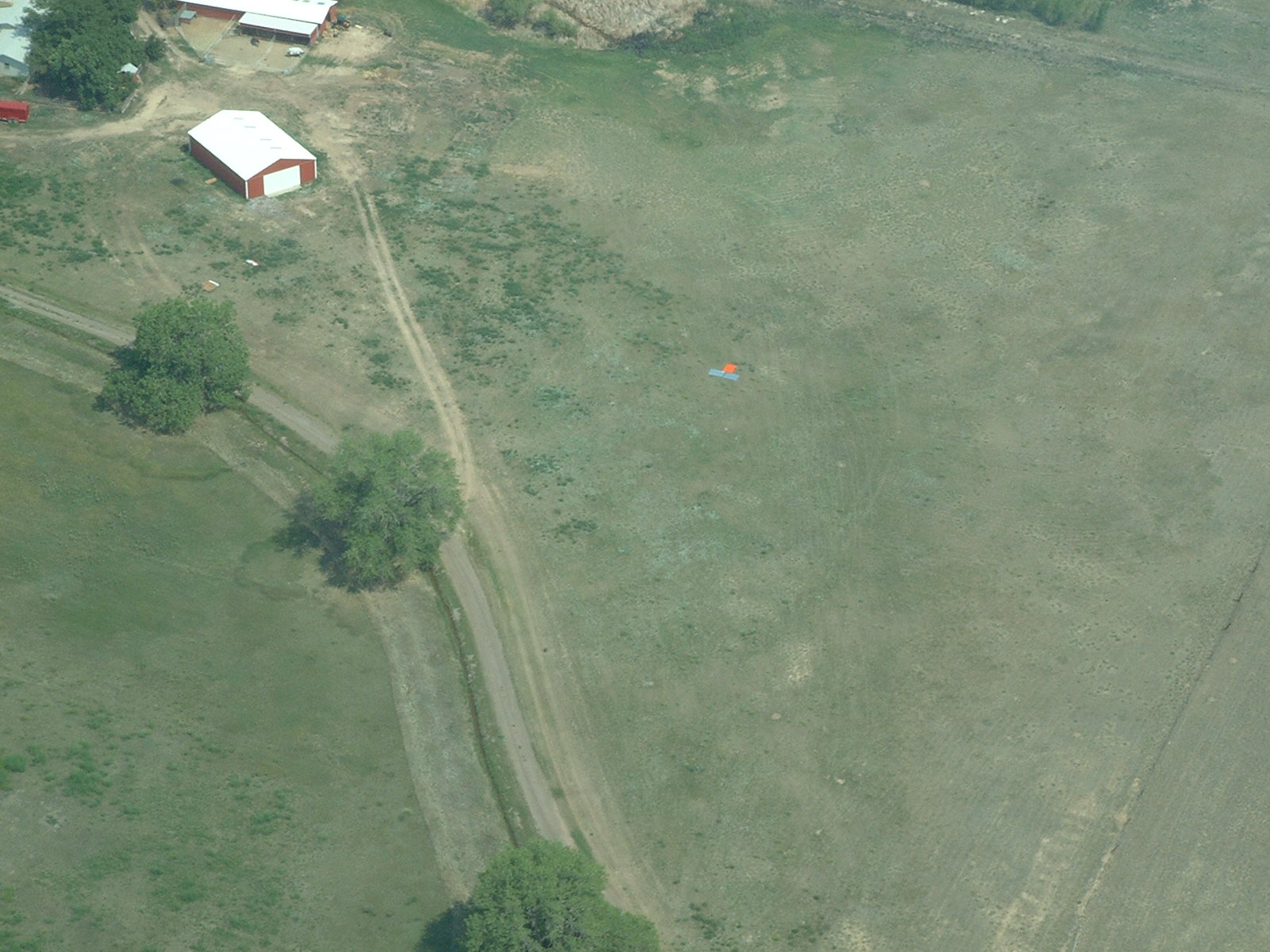
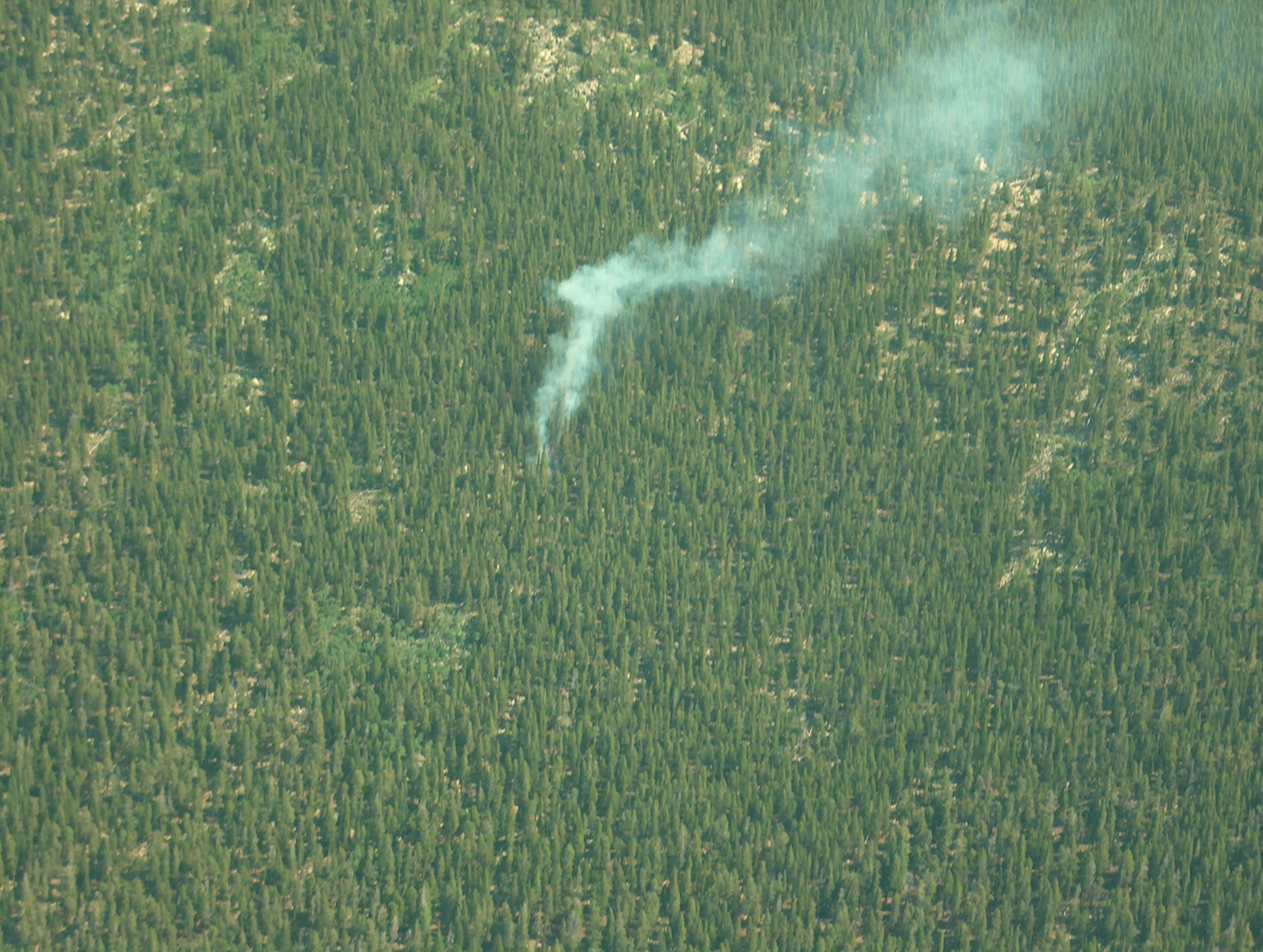
These first ones were taken at 10:24 when Joel called in the fire. |
|
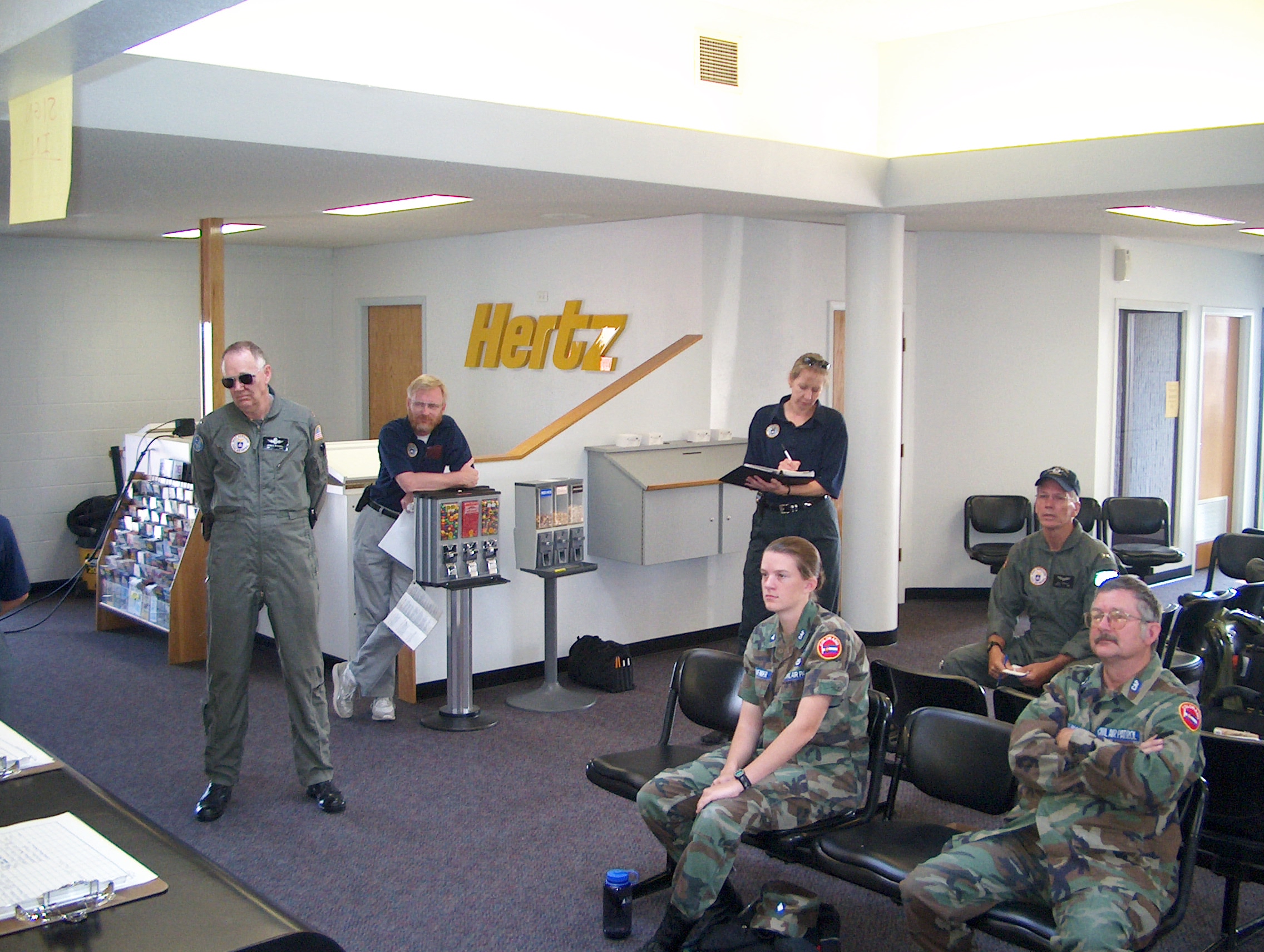
JohnM, Theo, Brenda... and Dakota Ridge squadron drove up! | |
Ted from Boulder works mission base too. | |
The wind was pretty strong! |
|
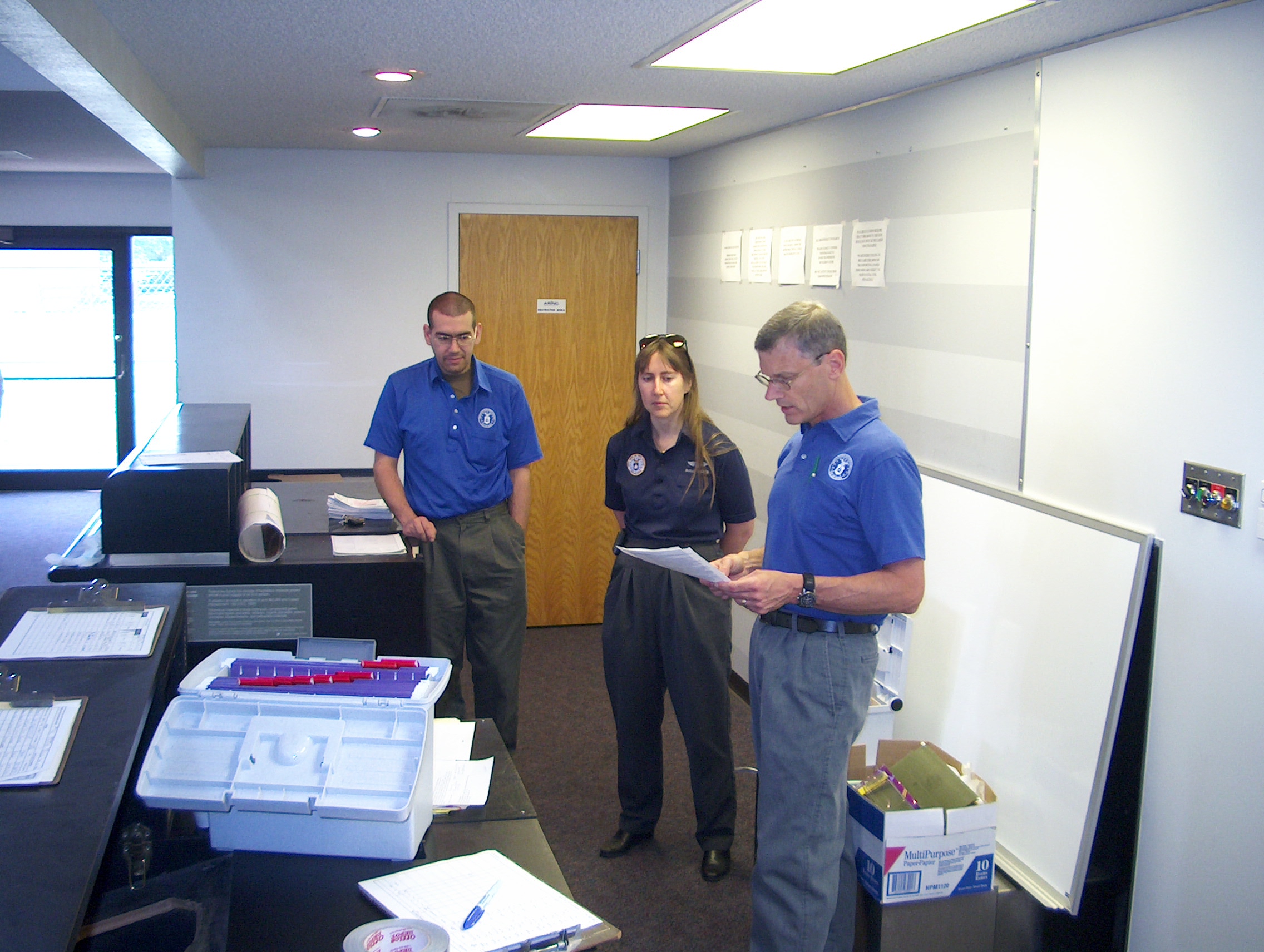
Our Cadet Commander JennyN, Unit Commander MikeF... and to the right Boulder flew in. | |
"Locate a missing aircraft with silver wings and orange fuselage", hey whadya know! | |
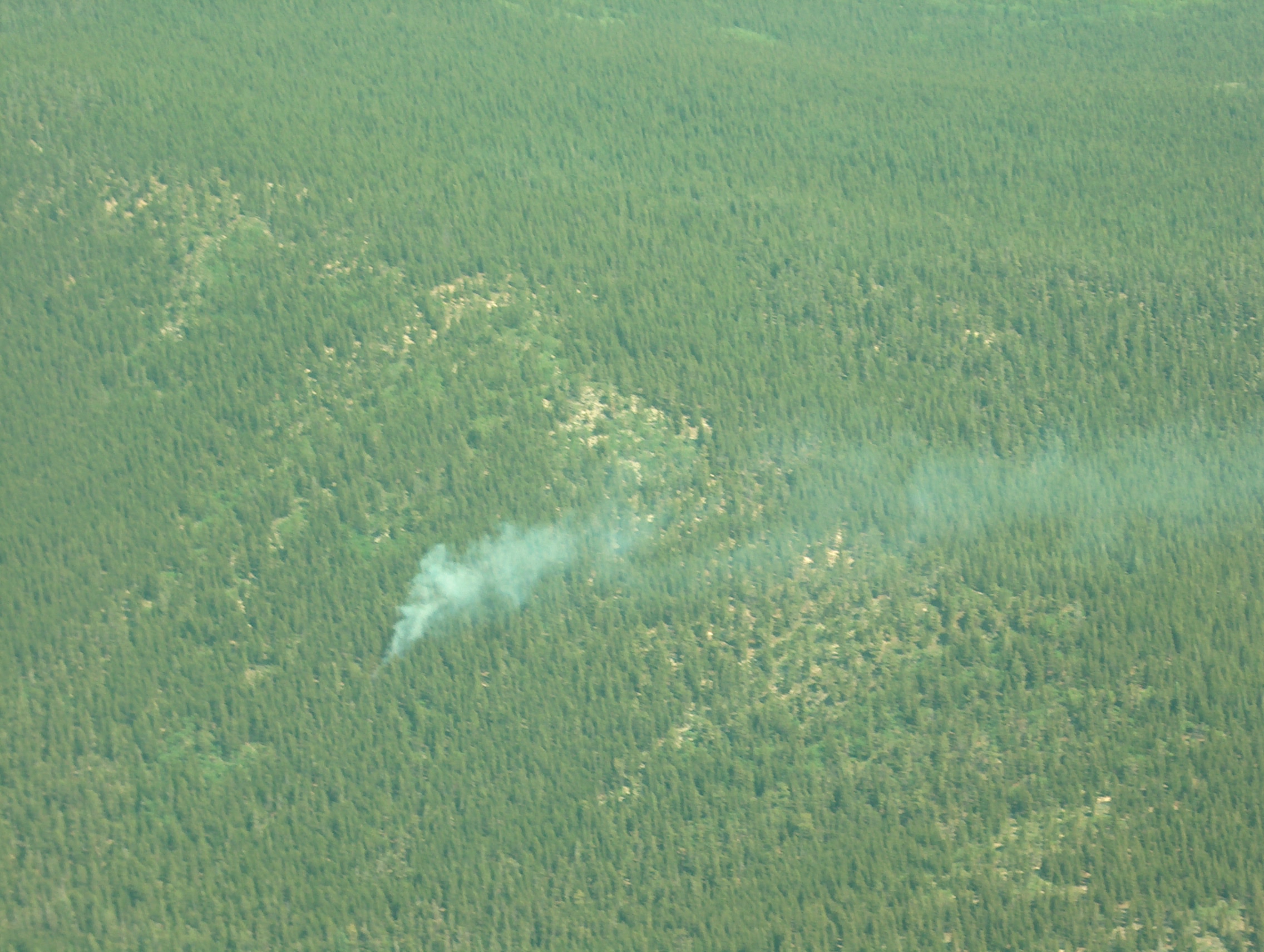
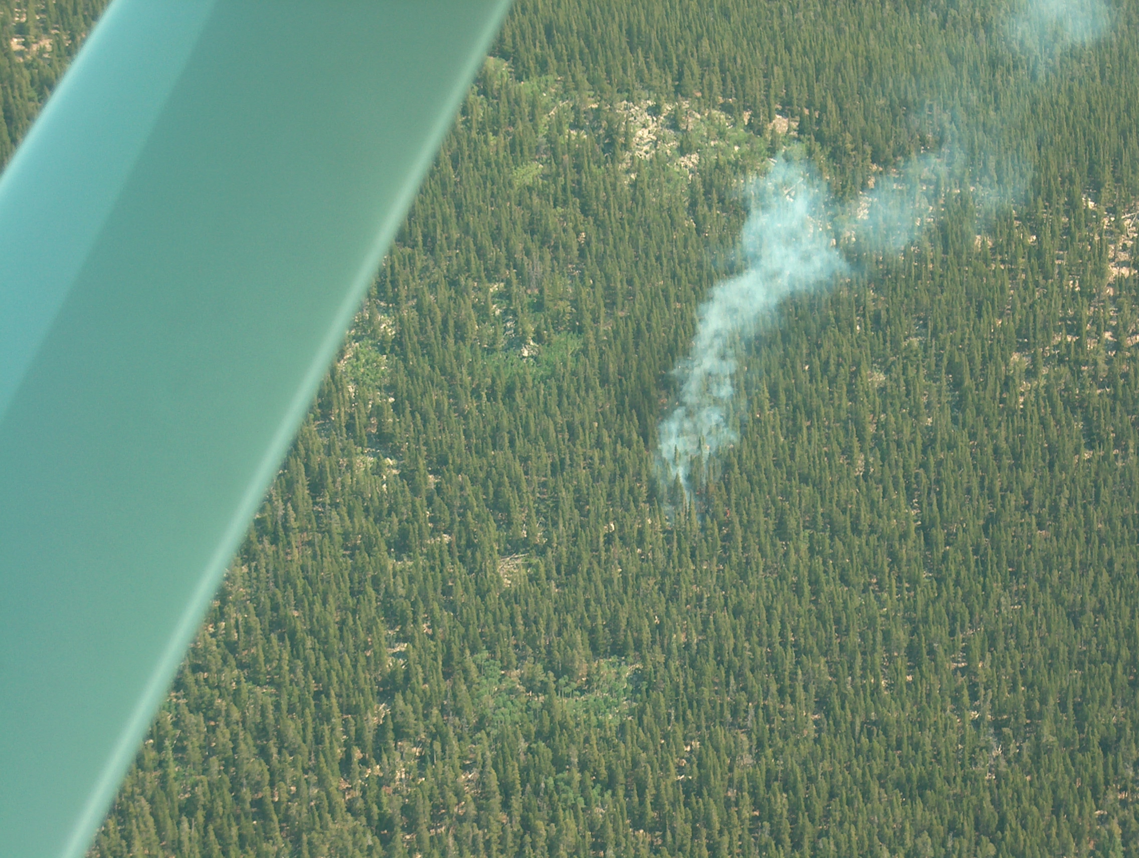
6 minutes later, the aircrew can see the flames walking uphill, driven by the wind. |
|
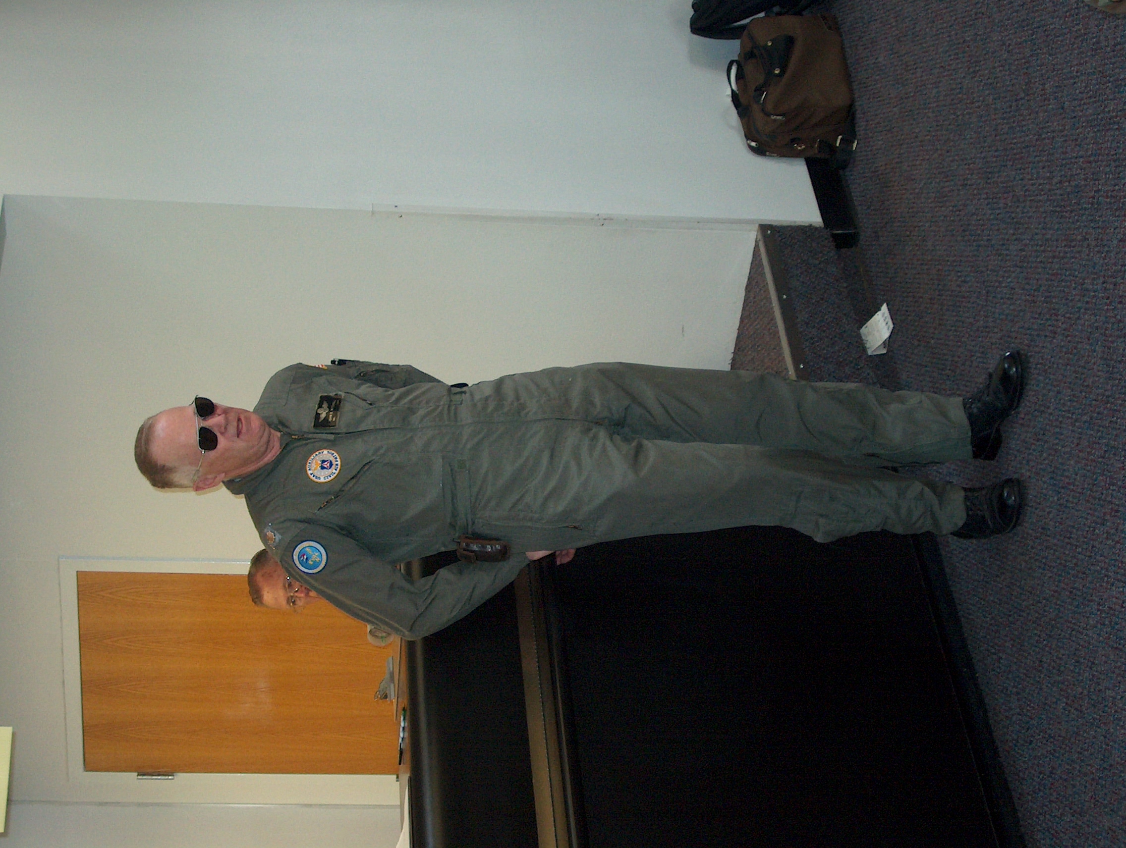
John Mitchell gives our safety briefing. | |
Thanks to Andrew McKenna for the photos and Reid & Karen Riedlinger for the use of their land! | |
Flames still on the ground but getting larger, wind is quite strong. |
|
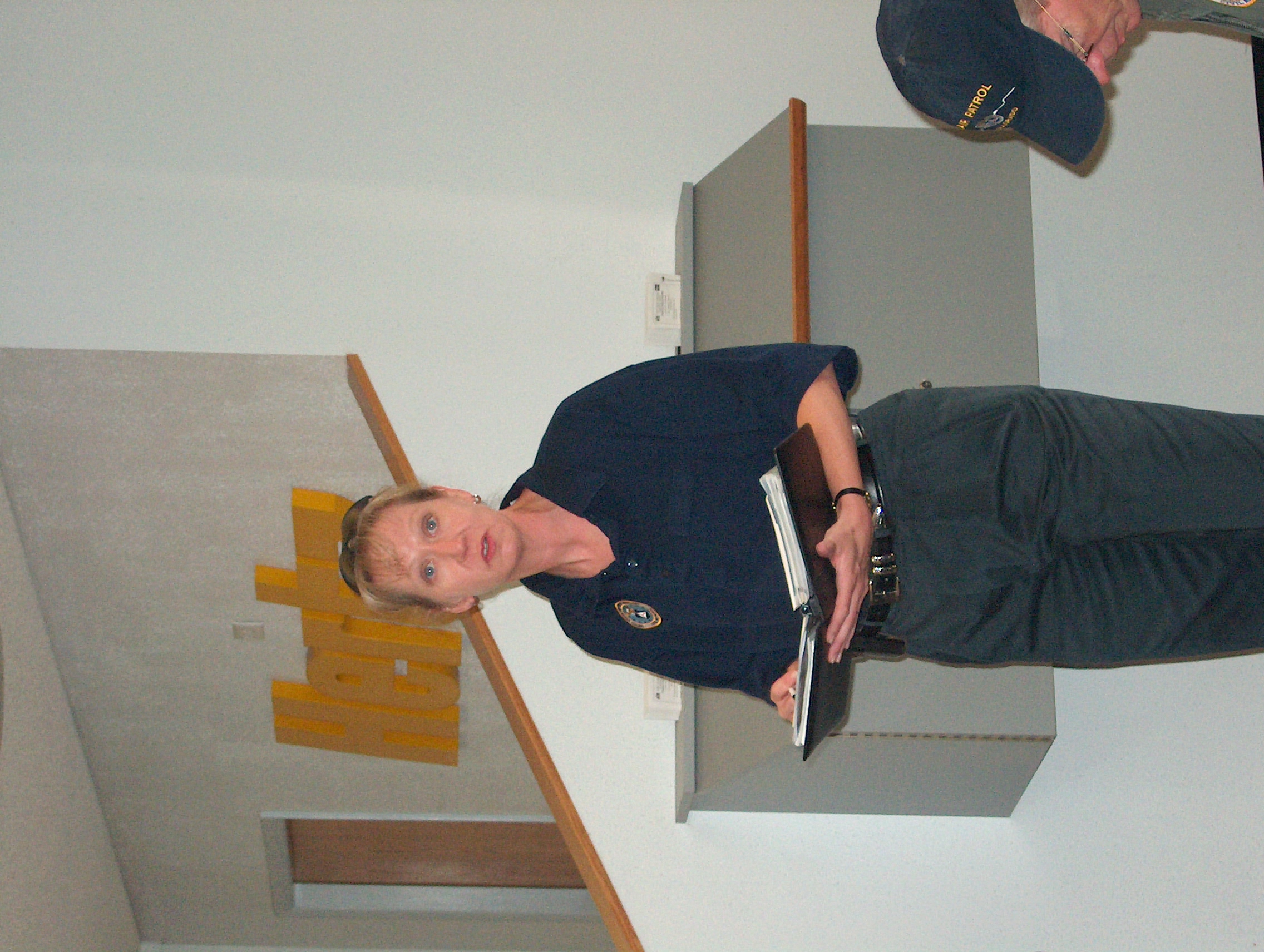
Brenda, our PIO, discusses weather and NOTAMs. | |
First sighting of the fire by Joel Larner and crew. Click to see the 1M full-resolution. | |
Still only 10:30 and a tree base is burning. |
|
Bill does a great Comm briefing. | |
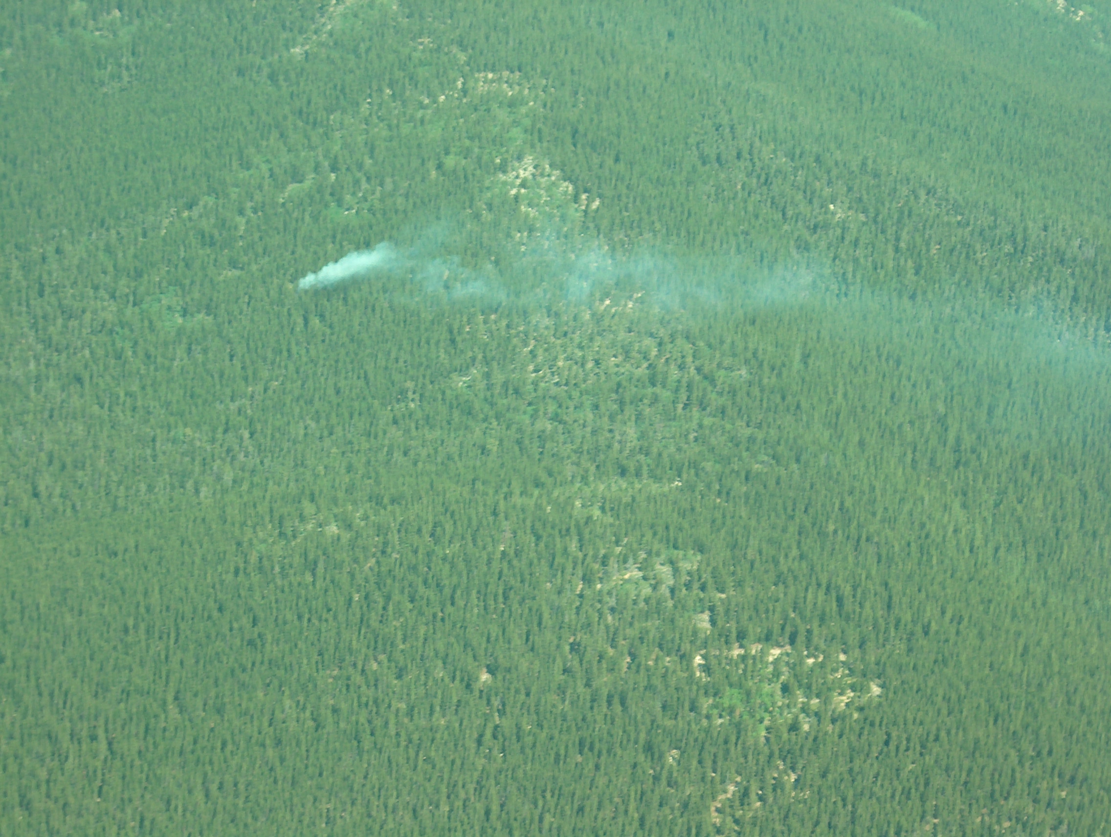
Flames visible on the ground but not yet in the trees. | |
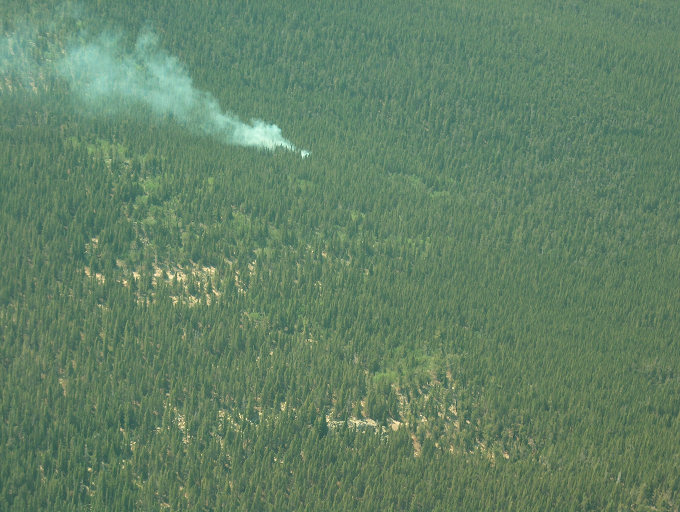
Final shot, more smoke! |
Here's an mpeg video of KenM assigning aircrews during briefing (4 Meg)
Here's an mpeg of scrolling around mission base to see everyone during briefing (5 Meg)
---------------------------------------------------------------------------------
Details on the fire from Joel:
The single engine tanker was departing as we entered the pattern which was 10:55. So he
probably got to the fire by 11:15. I went out to talk to the guys mixing the slurry as we left mission base. They said by the time the
tanker got there, the fire had exploded and was beyond the capability of the helicopter and the single engine tanker. They had requested heavy tanker
support. So in 45 minutes it went from what you see here in the pictures to a fire beyond their capabilities.
This fire was on the front page of the Coloradoan on Sunday morning. It is named the "Fish Creek Fire".
By Sunday night it had burned 40 acres and had numerous crews on it. Due to the remoteness of the terrain, getting
crews in was very difficult (we explained that to Mark Sheets over the radio that it was very remote with no easy access).
---------------------------------------------------------------------------------
These were taken July 19 by Joel Larner, after the fire had been out for a few weeks. He says:
I took some pictures of the Fish Creek fire now that it is out during the checkride with John. Thought these might be interesting to post these along with the origin fires so people can see what it did and what 30-40 acres burned looks like.
The origin was on the left side of these pictures. It burned up over the ridge in the direction the wind was blowing. You can see a lot of spotting how the fire jumped.
Click on a thumbnail to see a full-size picture. Note full-size is 1Meg.
 |
The origin was on the left side and it burned south to north (left to right in this shot). | 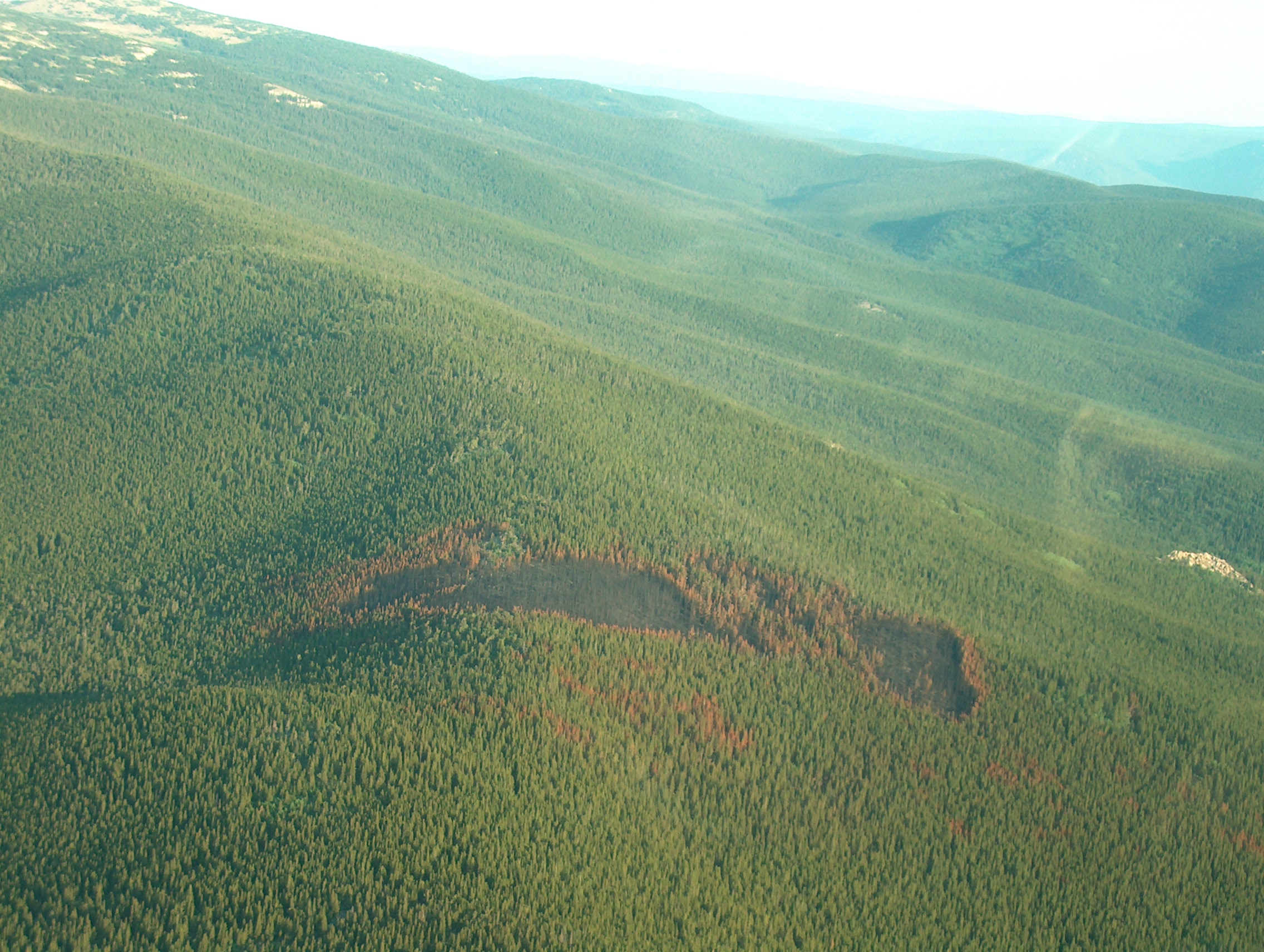 |
Notice the spotting as the fire jumped. |
 |
See how it burned uphill, and even over top of the ridge. | 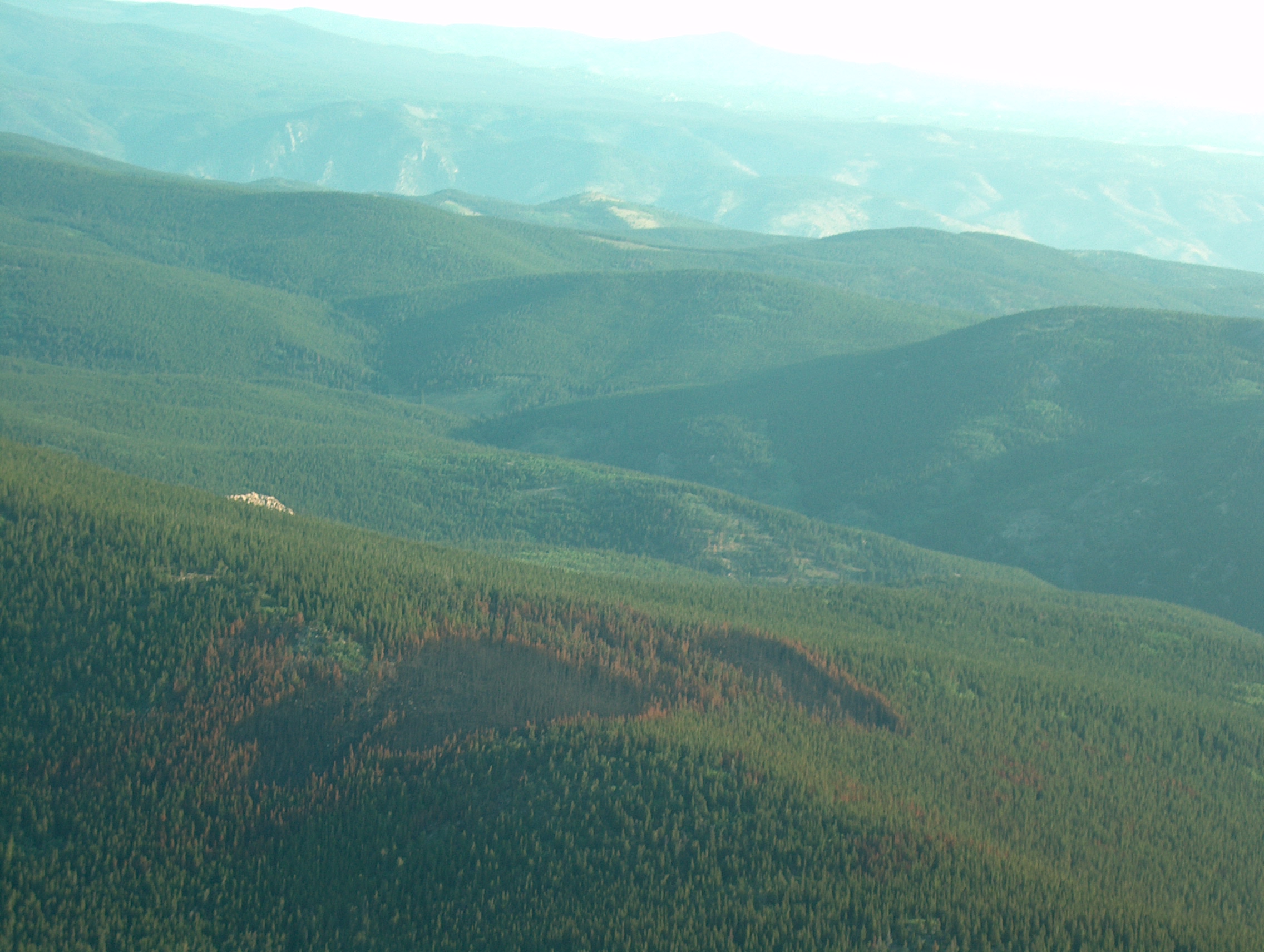 |
This was a 30-40 acre fire. |